Oceania · Polynesia
Wallis and Futuna
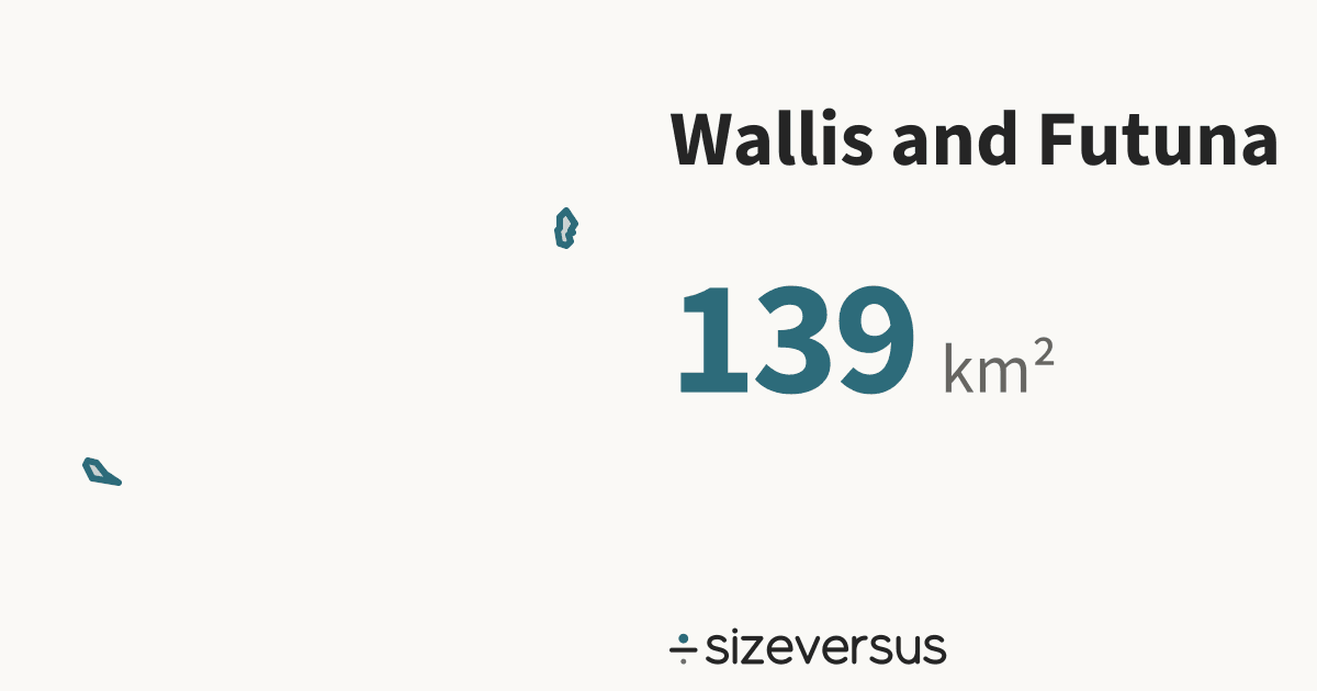
Wallis and Futuna covers about 139 km² (53.8 mi²), the 219th largest of the 246 places listed here.
- 139km²Area, main territory
- 12,000Population
- 0.00In Belgiums
50 km
- Wallis and Futuna
Facts
| Area, main territory | 139 km²53.8 mi² |
|---|---|
| Official area | 142 km²Wikidata · agrees with our measure |
| In Belgiums | 0.00 |
| Capital | Mata-Utu |
| Population | 12,000Wikidata, 2018 |
| Density | 83 people per km² |
| Latitude range | 14°S to 13°S |
| In other languages | Wallis y Futuna Español · Wallis und Futuna Deutsch · Wallis-et-Futuna Français · Wallis e Futuna Português · ウォリス・フツナ 日本語 · 瓦利斯和富图纳 中文 · 왈리스 푸투나 한국어 |
| Continent | Oceania |
What the numbers say about Wallis and Futuna
- Russia, the largest place listed, is 121,897× the size of Wallis and Futuna.
- Wallis and Futuna lies at 14°S, close to the equator, where a standard web map (Web Mercator) is nearly true to size: it inflates area by only about 1.1×.
- Laid out flat, Wallis and Futuna's main territory stretches about 123 km north to south and 222 km east to west.
- Wikidata's official figure of 142 km² agrees with our measured area of 139 km², to within 2%.
How Wallis and Futuna measures up
| Where it ranks | Figure | Position |
|---|---|---|
| Area | 139 km² | 216th of 239 |
| Population | 12,000 | 221st of 237 |
| Compared with | Its area | Wallis and Futuna is |
|---|---|---|
| Belgium | 30,700 km² | 1 in 220 its size |
| United Kingdom | 244,000 km² | 1 in 1,750 its size |
| Germany | 358,000 km² | 1 in 2,568 its size |
| Japan | 374,000 km² | 1 in 2,681 its size |
| France | 548,000 km² | 1 in 3,933 its size |
| India | 3,151,000 km² | 1 in 22,618 its size |
| Brazil | 8,473,000 km² | 1 in 60,823 its size |
| United States | 9,447,000 km² | 1 in 67,820 its size |
| Russia | 16,980,000 km² | 1 in 121,897 its size |
Where Wallis and Futuna sits
- Wallis and Futuna's centre lies at 13.7°S, 177.1°W, in the southern and western hemispheres, about 1,530 km from the equator.
- Its main territory spans 14°S to 13°S, about 120 km from its southern edge to its northern.
Closest neighbours, by distance between centres
On the same latitude, elsewhere in the world
Share this outline

Sources and method
- Outline
- Natural Earth, 1:10m Admin 0 - Countries, public domain
- Boundary
- De facto, as drawn by Natural Earth.
- Area
- Measured on the WGS84 ellipsoid from the full-detail outline, shown rounded
- Official figures
- Area, population and capital from Wikidata (CC0), fetched 2026-11-11
- Population
- Wikidata, 2018; covers the whole country, overseas territory included
- Data built
- 2026-11-11