Island
Baffin Island
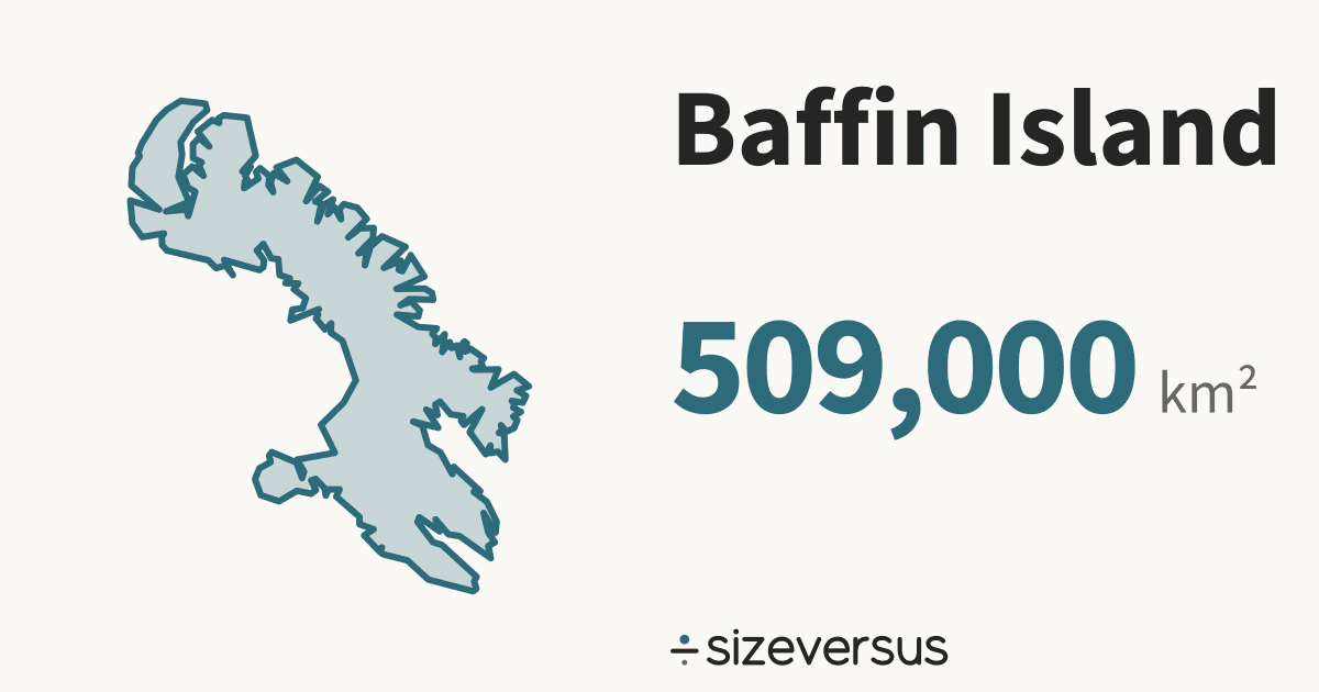
Natural Earth’s outline of Baffin Island measures about 509,000 km² (196,000 mi²), the 5th largest of the 81 islands on sizeversus, and about the same size as Thailand.
200 km
- Thailand
- Baffin Island
The numbers
- 509,000km²Area, measured196,000 mi² · Natural Earth outline
- 507,000km²Area, publishedWikidata · agrees within 2%
The area is measured from the outline drawn above, on the WGS84 ellipsoid; the published figure is shown beside it, and a water body is kept only if the two are within 10%.
What the numbers say about Baffin Island
- Greenland (island), the largest of the 81 islands ranked on sizeversus, is 4.27× the size of Baffin Island; Baffin Island ranks 5th.
- Baffin Island sits between Madagascar (island) (589,000 km²) and Honshu (225,000 km²) in the ranking.
- Counted as a country, Baffin Island would be larger than 162 of the 212 countries listed on sizeversus and would rank 51st by area, between Thailand (514,000 km²) and Spain (499,000 km²).
- It is larger than 49 of the 51 US states and districts (the biggest of them is California, 410,000 km²) and smaller than 2.
- It is larger than 27 of the 31 provinces and regions of China (the biggest of them is Sichuan, 485,000 km²) and smaller than 4.
- The closest Chinese province is Sichuan (485,000 km²): Baffin Island is 1.05× the size of Sichuan.
- On a standard web map (Web Mercator), a place at 68°N is drawn about 7.3× too large in area, so Baffin Island looks bigger there than it is.
- Laid out flat, Baffin Island stretches about 1,350 km north to south and 1,100 km east to west.
- Wikidata’s published figure of 507,000 km² agrees with our measured 509,000 km², to within 2%.
About the same size as
Countries
Where it lies
Natural Earth’s outlines of Canada contain or lie within 4 km of the outline of Baffin Island. That is what its geometry says, and it is not a statement about who owns the water or where any border runs in it.
Where Baffin Island ranks
Baffin Island is the 5th largest of the 81 islands on sizeversus, ranked by measured area.
Compare Baffin Island
Share this outline

Sources and method
- Outline
- Natural Earth, 1:10m Geography Regions (geography_regions_polys), public domain (Geography Regions (geography_regions_polys)). Outlines of lakes are drawn at 1:10 million.
- Boundary
- A lake or a sea has no legal boundary of its own. The outline is a cartographic one, and the page says so by showing the measured area beside the published one.
- Area basis
- Measured outline: computed on the WGS84 ellipsoid from the full-detail outline and shown rounded. Published figure: Wikidata (CC0), fetched 2026-11-11. An outline is kept within 10% of the published figure and matched to other places automatically within 5%.
- Shore
- Countries whose Natural Earth outline contains or comes close to the water's outline; computed, not a statement of ownership.
- Drawing
- Each outline is projected with an equal-area projection centred on its own centroid, so areas stay true and two can be laid over each other.
- Data built
- 2026-11-11