Island
Bangka Island
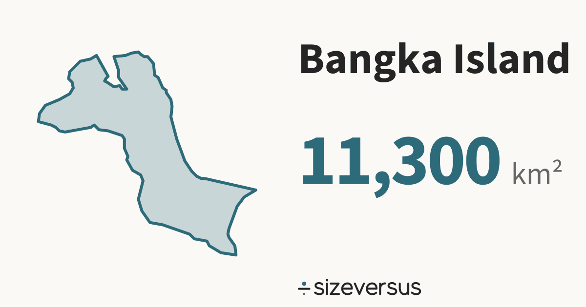
Natural Earth’s outline of Bangka Island measures about 11,300 km² (4,360 mi²), the 56th largest of the 81 islands on sizeversus, and about the same size as Qatar.
50 km
- Bangka Island
- Qatar
The numbers
- 11,300km²Area, measured4,360 mi² · Natural Earth outline
- 11,400km²Area, publishedWikidata · agrees within 2%
The area is measured from the outline drawn above, on the WGS84 ellipsoid; the published figure is shown beside it, and a water body is kept only if the two are within 10%.
What the numbers say about Bangka Island
- Greenland (island), the largest of the 81 islands ranked on sizeversus, is 192× the size of Bangka Island; Bangka Island ranks 56th.
- Bangka Island sits between Samar Island (12,100 km²) and Panay (11,200 km²) in the ranking.
- Counted as a country, Bangka Island would be larger than 50 of the 212 countries listed on sizeversus and would rank 163rd by area, between Falkland Islands (11,600 km²) and Qatar (11,200 km²).
- It is larger than 3 of the 51 US states and districts (the biggest of them is Delaware, 5,170 km²) and smaller than 48.
- It is larger than 1 of the 31 provinces and regions of China (the biggest of them is Shanghai, 6,750 km²) and smaller than 30.
- The closest Chinese province is Tianjin (11,500 km²): Bangka Island is about the same size as Tianjin.
- Bangka Island lies at 2°S, close to the equator, where a standard web map (Web Mercator) is nearly true to size: it inflates area by only about 1.0×.
- Laid out flat, Bangka Island stretches about 174 km north to south and 187 km east to west.
- Wikidata’s published figure of 11,400 km² agrees with our measured 11,300 km², to within 2%.
About the same size as
Countries
Where it lies
Natural Earth’s outlines of Indonesia contain or lie within 4 km of the outline of Bangka Island. That is what its geometry says, and it is not a statement about who owns the water or where any border runs in it.
Names
- Bangka Islandthe name in this page’s titlesource: Wikidata’s English label
- Bangkaalso calledsource: Natural Earth
Where Bangka Island ranks
Bangka Island is the 56th largest of the 81 islands on sizeversus, ranked by measured area.
Share this outline

Sources and method
- Outline
- Natural Earth, 1:10m Geography Regions (geography_regions_polys), public domain (Geography Regions (geography_regions_polys)). Outlines of lakes are drawn at 1:10 million.
- Boundary
- A lake or a sea has no legal boundary of its own. The outline is a cartographic one, and the page says so by showing the measured area beside the published one.
- Area basis
- Measured outline: computed on the WGS84 ellipsoid from the full-detail outline and shown rounded. Published figure: Wikidata (CC0), fetched 2026-11-11. An outline is kept within 10% of the published figure and matched to other places automatically within 5%.
- Shore
- Countries whose Natural Earth outline contains or comes close to the water's outline; computed, not a statement of ownership.
- Drawing
- Each outline is projected with an equal-area projection centred on its own centroid, so areas stay true and two can be laid over each other.
- Data built
- 2026-11-11