Asia · South-Eastern Asia
Myanmar
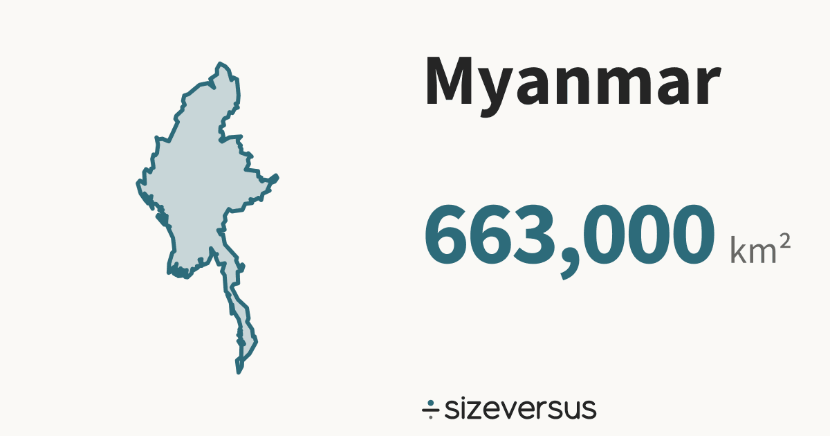
Myanmar covers about 663,000 km² (256,000 mi²), the 41st largest of the 246 places listed here. That is close to Afghanistan, at about 642,000 km².
- 663,000km²Area, main territory
- 53.4 millionPopulation
- 21.6In Belgiums
200 km
- Myanmar
Facts
| Area, main territory | 663,000 km²256,000 mi² |
|---|---|
| Official area | 677,000 km²Wikidata · agrees with our measure |
| In Belgiums | 21.6 |
| Capital | Naypyidaw |
| Population | 53.4 millionWikidata, 2017 |
| Density | 80 people per km² |
| Latitude range | 10°N to 29°N |
| In other languages | Birmanie Français · Mianmar Português · ミャンマー 日本語 · 缅甸 中文 · 미얀마 한국어 |
| Continent | Asia#10 of 51 countries by area |
What the numbers say about Myanmar
- Russia, the largest place listed, is 25.6× the size of Myanmar.
- At 80 people per km², Myanmar is the 84th most densely populated of the 185 places over 1,000 km²; the median is 72 per km².
- Myanmar lies at 21°N, close to the equator, where a standard web map (Web Mercator) is nearly true to size: it inflates area by only about 1.1×.
- Laid out flat, Myanmar's main territory stretches about 2,060 km north to south and 931 km east to west.
- Wikidata's official figure of 677,000 km² agrees with our measured area of 663,000 km², to within 2%.
How Myanmar measures up
Myanmar holds 2.1% of the land area and 1.2% of the people of the 51 countries listed for Asia. In South-Eastern Asia it is the 2nd largest of 11.
| Where it ranks | Figure | Position |
|---|---|---|
| Area | 663,000 km² | 40th of 239 |
| Population | 53.4 million | 26th of 237 |
| Density | 80 per km² | 84th of 185 |
| Farthest north | 21.1°N | 100th of 212 |
| Compared with | Its area | Myanmar is |
|---|---|---|
| Belgium | 30,700 km² | 21.6× its size |
| United Kingdom | 244,000 km² | 2.72× its size |
| Germany | 358,000 km² | 1.85× its size |
| Japan | 374,000 km² | 1.78× its size |
| France | 548,000 km² | 1.21× its size |
| India | 3,151,000 km² | 0.21× its size |
| Brazil | 8,473,000 km² | 0.08× its size |
| United States | 9,447,000 km² | 0.07× its size |
| Russia | 16,980,000 km² | 0.04× its size |
Where Myanmar sits
- Myanmar's centre lies at 21.1°N, 96.5°E, in the northern and eastern hemispheres, about 2,350 km from the equator.
- Its main territory spans 10°N to 29°N, about 2,080 km from its southern edge to its northern.
Closest neighbours, by distance between centres
On the same latitude, elsewhere in the world
If Myanmar had other densities
- At Bangladesh's density of 1,252 people per km², Myanmar would have 830.6 million people. It has 53.4 million.
- At Canada's density of 3.7 people per km², Myanmar would have 2.5 million people. It has 53.4 million.
- At the median density of the places listed, 72 per km², it would have 48.0 million.
About the same size as
Largest in Asia
Compare Myanmar
Share this outline

Sources and method
- Outline
- Natural Earth, 1:10m Admin 0 - Countries, public domain
- Boundary
- De facto, as drawn by Natural Earth.
- Area
- Measured on the WGS84 ellipsoid from the full-detail outline, shown rounded
- Official figures
- Area, population and capital from Wikidata (CC0), fetched 2026-11-11
- Population
- Wikidata, 2017; covers the whole country, overseas territory included
- Data built
- 2026-11-11