Oceania · Micronesia
Palau
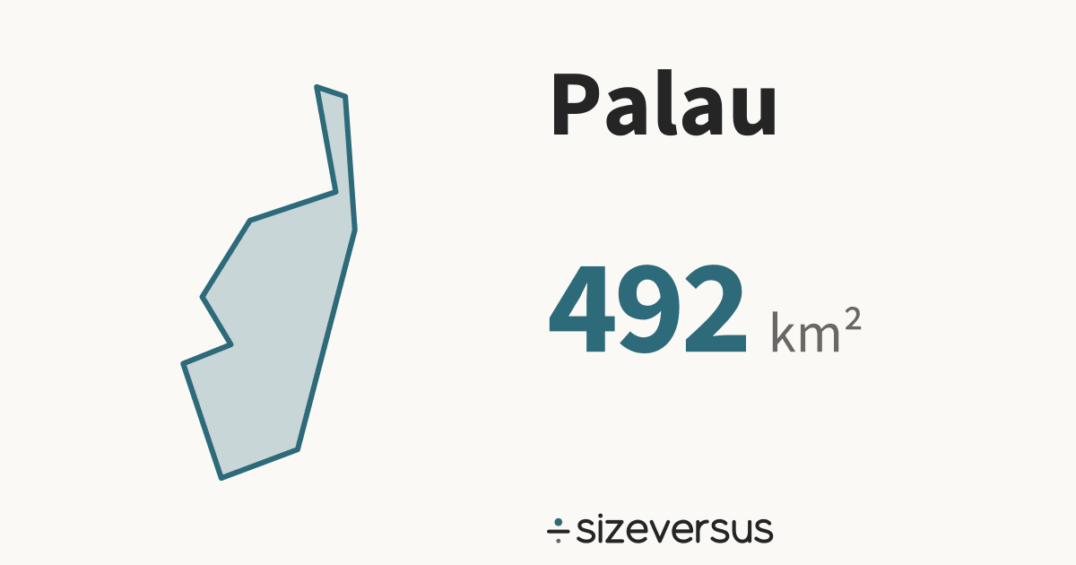
Palau covers about 492 km² (190 mi²), the 198th largest of the 246 places listed here.
- 492km²Area, main territory
- 22,000Population
- 0.02In Belgiums
100 km
- Palau
Facts
| Area, main territory | 492 km²190 mi² |
|---|---|
| Official area | 466 km²Wikidata · 5.6% below our measure |
| In Belgiums | 0.02 |
| Capital | Ngerulmud |
| Population | 22,000Wikidata, 2017 |
| Density | 44 people per km² |
| Latitude range | 3°N to 8°N |
| In other languages | Palaos Español · Palaos Français · パラオ 日本語 · 帕劳 中文 · 팔라우 한국어 |
| Continent | Oceania#11 of 14 countries by area |
What the numbers say about Palau
- Russia, the largest place listed, is 34,520× the size of Palau.
- Palau lies at 7°N, close to the equator, where a standard web map (Web Mercator) is nearly true to size: it inflates area by only about 1.0×.
- Laid out flat, Palau's main territory stretches about 572 km north to south and 398 km east to west.
- Our measured 492 km² is 5.6% above Wikidata's official figure of 466 km². Official figures can include inland water or count land that an outline draws differently. This difference is flagged for review.
How Palau measures up
Palau holds 0.0% of the land area and 0.0% of the people of the 14 countries listed for Oceania. In Micronesia it is the 3rd largest of 5.
| Where it ranks | Figure | Position |
|---|---|---|
| Area | 492 km² | 195th of 239 |
| Population | 22,000 | 217th of 237 |
| Farthest north | 7.2°N | 152nd of 212 |
| Compared with | Its area | Palau is |
|---|---|---|
| Belgium | 30,700 km² | 0.02× its size |
| United Kingdom | 244,000 km² | 1 in 496 its size |
| Germany | 358,000 km² | 1 in 727 its size |
| Japan | 374,000 km² | 1 in 759 its size |
| France | 548,000 km² | 1 in 1,114 its size |
| India | 3,151,000 km² | 1 in 6,405 its size |
| Brazil | 8,473,000 km² | 1 in 17,224 its size |
| United States | 9,447,000 km² | 1 in 19,206 its size |
| Russia | 16,980,000 km² | 1 in 34,520 its size |
Where Palau sits
- Palau's centre lies at 7.2°N, 134.3°E, in the northern and eastern hemispheres, about 800 km from the equator.
- Its main territory spans 3°N to 8°N, about 570 km from its southern edge to its northern.
Closest neighbours, by distance between centres
On the same latitude, elsewhere in the world
Compare Palau
Share this outline

Sources and method
- Outline
- Natural Earth, 1:10m Admin 0 - Countries, public domain
- Boundary
- De facto, as drawn by Natural Earth.
- Area
- Measured on the WGS84 ellipsoid from the full-detail outline, shown rounded
- Official figures
- Area, population and capital from Wikidata (CC0), fetched 2026-11-11
- Population
- Wikidata, 2017; covers the whole country, overseas territory included
- Data built
- 2026-11-11