Province of Canada
Prince Edward Island
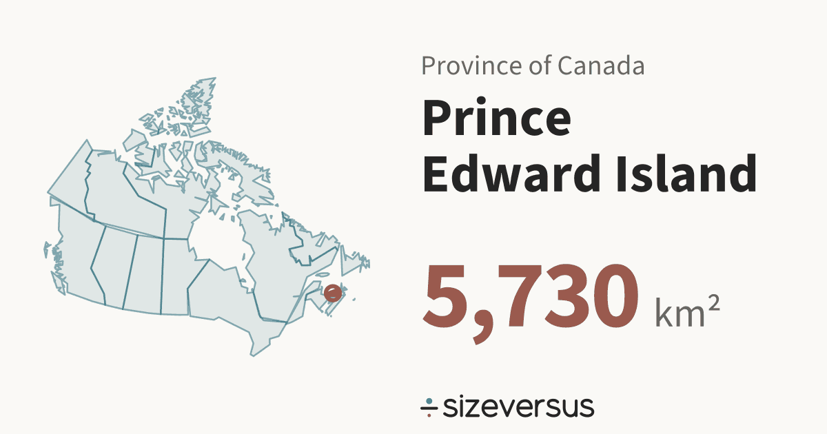
Prince Edward Island is a province of Canada. It covers about 5,730 km² (2,210 mi²), the 13th largest of the 13 provinces and territories in Natural Earth’s file for Canada, and about the same size as Brunei. About 154,000 people live there (Wikidata, 2021).
50 km
- Prince Edward Island
- Brunei
Facts
| Area, measured | 5,730 km²2,210 mi² |
|---|---|
| Official area | 5,620 km²Wikidata · 2.0% below our measure |
| Share of Canada | less than 0.1%of the area of the 13 provinces and territories |
| Rank by area | 13th of 13provinces and territories of Canada |
| Population | 154,000Wikidata, 2021 · the census year of every unit |
| Density | 27 people per km² |
| Capital | Charlottetown |
| Latitude range | 46°N to 47°N |
| Type | ProvinceCA-PE |
What the numbers say about Prince Edward Island
- Prince Edward Island covers less than 0.1% of the area of Canada and ranks 10th of 13 by population, against 13th by area.
- It would take 1,735 provinces and territories the size of Prince Edward Island to cover Canada.
- Prince Edward Island holds 0.4% of the 37.0 million people that Wikidata’s 2021 figures give for the 13 provinces and territories together: about 1 in 240.
- The largest, Nunavut, is 363× the size of Prince Edward Island, the smallest of the 13.
- Closest in size within Canada: Nova Scotia (55,100 km², 9.61×) and New Brunswick (72,800 km², 12.7×).
- Counted as a country, Prince Edward Island would be larger than 68 of the 239 countries and territories listed on sizeversus, and would rank 172nd by area, between Palestine (6,070 km²) and Brunei (5,720 km²).
- With 154,000 people it would rank 185th of 238 by population.
- Prince Edward Island has 27 people per km², about the density of Peru, which has 26 per km².
- That makes Prince Edward Island the most densely populated of the 13 provinces and territories, 7.24× the average for Canada (3.7 per km²).
- Prince Edward Island has 1,519× the density of Nunavut, the least crowded of the 13: 27 against 0.02 people per km².
- On a standard web map (Web Mercator), a place at 46°N is drawn about 2.1× too large in area, so Prince Edward Island looks bigger there than it is.
- Laid out flat, Prince Edward Island stretches about 124 km north to south and 187 km east to west.
- Our measured 5,730 km² is 2.0% above Wikidata's official figure of 5,620 km². Official figures can include inland water or count land that an outline draws differently.
About the same size as
Beside the regions of other countries
The closest region by area and by people in each of the other countries that have regional pages here, within a factor of 2. All 395 regions side by side.
- ChinaAreaShanghai85% · 6,750 km²Peoplenone within 2×
- United StatesAreaDelaware1.11× · 5,170 km²Peoplenone within 2×
- IndiaAreaSikkim83% · 6,940 km²PeopleLadakh56% · 274,000 (2011)
- FranceAreaCorsica (France)66% · 8,670 km²PeopleFrench Guiana54% · 288,000 (2022)
- ItalyAreaLiguria1.04× · 5,490 km²PeopleAosta Valley1.23× · 126,000 (2019)
- SpainAreaCantabria1.07× · 5,350 km²PeopleMelilla1.80× · 86,000 (2024)
- JapanAreaMie0.99× · 5,820 km²Peoplenone within 2×
- BrazilAreaFederal District0.99× · 5,790 km²Peoplenone within 2×
- AustraliaAreanone within 2×PeopleNorthern Territory59% · 262,000 (2024)
- MexicoAreaColima0.98× · 5,880 km²Peoplenone within 2×
- ThailandAreaMaha Sarakham1.00× · 5,740 km²PeopleSamut Songkhram80% · 192,000 (2020)
Where Prince Edward Island sits in Canada
All 13 drawn on one equal-area map, so sizes are comparable. Select another to open it.
Compare Prince Edward Island
- Murcia vs Prince Edward Island
- Chiang Rai vs Prince Edward Island
- Abruzzo vs Prince Edward Island
- Udon Thani vs Prince Edward Island
- Tripura vs Prince Edward Island
- Khon Kaen vs Prince Edward Island
- Gifu vs Prince Edward Island
- Asturias vs Prince Edward Island
- Phitsanulok vs Prince Edward Island
- Loei vs Prince Edward Island
- Nakhon Si Thammarat vs Prince Edward Island
- Buriram vs Prince Edward Island
- Navarre vs Prince Edward Island
- Basilicata vs Prince Edward Island
- Nakhon Sawan vs Prince Edward Island
- Aomori vs Prince Edward Island
- Sakon Nakhon vs Prince Edward Island
- Marche vs Prince Edward Island
- Yamagata vs Prince Edward Island
- Kagoshima vs Prince Edward Island
- Sisaket vs Prince Edward Island
- Kamphaeng Phet vs Prince Edward Island
- Corsica (France) vs Prince Edward Island
- Surin vs Prince Edward Island
- Umbria vs Prince Edward Island
- Hyogo vs Prince Edward Island
- Hiroshima vs Prince Edward Island
- Community of Madrid vs Prince Edward Island
- Miyazaki vs Prince Edward Island
- Roi Et vs Prince Edward Island
- Shizuoka vs Prince Edward Island
- Uttaradit vs Prince Edward Island
- Miyagi vs Prince Edward Island
- Songkhla vs Prince Edward Island
- Canary Islands vs Prince Edward Island
- Friuli-Venezia Giulia vs Prince Edward Island
- Kumamoto vs Prince Edward Island
- Andaman and Nicobar Islands vs Prince Edward Island
- Kochi vs Prince Edward Island
- Sa Kaeo vs Prince Edward Island
- Sukhothai vs Prince Edward Island
- Basque Country vs Prince Edward Island
- Sikkim vs Prince Edward Island
- Okayama vs Prince Edward Island
- Prachuap Khiri Khan vs Prince Edward Island
- Shimane vs Prince Edward Island
- Kalasin vs Prince Edward Island
- Shanghai vs Prince Edward Island
- Phrae vs Prince Edward Island
- Oita vs Prince Edward Island
- Uthai Thani vs Prince Edward Island
- Phetchaburi vs Prince Edward Island
- Tochigi vs Prince Edward Island
- Lopburi vs Prince Edward Island
- Gunma vs Prince Edward Island
- Ibaraki vs Prince Edward Island
- Yamaguchi vs Prince Edward Island
- Phayao vs Prince Edward Island
- Colima vs Prince Edward Island
- Chanthaburi vs Prince Edward Island
- Mie vs Prince Edward Island
- Federal District vs Prince Edward Island
- Chumphon vs Prince Edward Island
- Maha Sarakham vs Prince Edward Island
- Prince Edward Island vs Brunei
- Prince Edward Island vs Cyprus
- Prince Edward Island vs Samoa
- Prince Edward Island vs Delaware
- Prince Edward Island vs Cantabria
- Prince Edward Island vs Liguria
- Prince Edward Island vs Nakhon Phanom
- Prince Edward Island vs Ehime
- Prince Edward Island vs Chachoengsao
- Prince Edward Island vs Aguascalientes
- Prince Edward Island vs Ratchaburi
- Prince Edward Island vs Suphan Buri
- Prince Edward Island vs La Rioja
- Prince Edward Island vs Balearic Islands
- Prince Edward Island vs Chiba
- Prince Edward Island vs Morelos
- Prince Edward Island vs Fukuoka
- Prince Edward Island vs Aichi
- Prince Edward Island vs Yala
- Prince Edward Island vs Trang
- Prince Edward Island vs Prachinburi
- Prince Edward Island vs Kyoto
- Prince Edward Island vs Molise
- Prince Edward Island vs Yamanashi
- Prince Edward Island vs Narathiwat
- Prince Edward Island vs Wakayama
- Prince Edward Island vs Krabi
- Prince Edward Island vs Toyama
- Prince Edward Island vs Chonburi
- Prince Edward Island vs Tokushima
- Prince Edward Island vs Nong Bua Lamphu
- Prince Edward Island vs Phichit
- Prince Edward Island vs Fukui
- Prince Edward Island vs Ishikawa
- Prince Edward Island vs Mukdahan
- Prince Edward Island vs Yasothon
- Prince Edward Island vs Lamphun
- Prince Edward Island vs Phang Nga
- Prince Edward Island vs Shiga
- Prince Edward Island vs Nagasaki
- Prince Edward Island vs Bueng Kan
- Prince Edward Island vs Amnat Charoen
- Prince Edward Island vs Saitama
- Prince Edward Island vs Tlaxcala
- Prince Edward Island vs Nara
- Prince Edward Island vs Tottori
- Prince Edward Island vs Rayong
- Prince Edward Island vs Ranong
- Prince Edward Island vs Nong Khai
- Prince Edward Island vs Goa
- Prince Edward Island vs Aosta Valley
- Prince Edward Island vs Phatthalung
- Prince Edward Island vs Saraburi
Share this outline

Sources and method
- Outline
- Natural Earth, 1:10m Admin 1 - States, Provinces, public domain
- Boundary
- De facto, as drawn by Natural Earth.
- Area
- Measured on the WGS84 ellipsoid from the full-detail outline, shown rounded. The region’s whole area is counted, every island included.
- Official figures
- Area, population and capital from Wikidata (CC0), fetched 2026-11-12
- Population
- Wikidata, 2021. Canada’s units share the 2021 figures where Wikidata has them; the year is shown wherever the figure is.
- Matching
- Countries come from Natural Earth’s country file. Places whose status is contested and dependencies are never used as automatic matches. A region under 2,500 km² is matched against the small countries and island nations.
- Data built
- 2026-11-12